
Maharashtra
Maharashtra Approves Rural Road Status for 9 Satara Roads
Wed Aug 19 2026
The Maharashtra government has approved rural road status for nine previously unclassified roads in Khatav taluka of Satara district. The decision covers a total stretch of 24.315 kilometers and is expected to support planned road development and better village connectivity.
Nine Roads Added to Rural Road Network
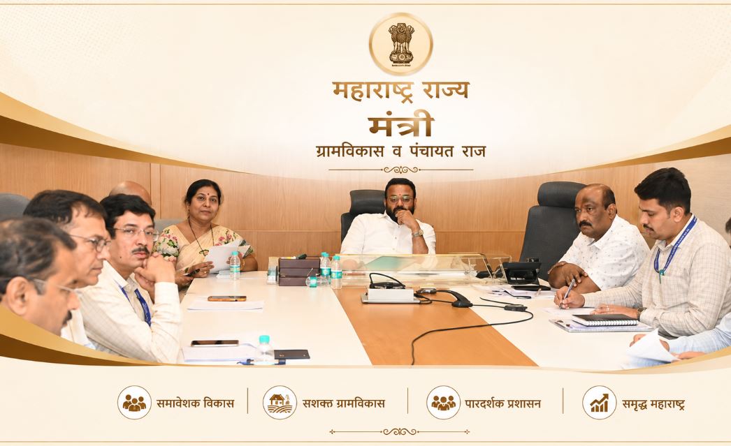
Rural Development Minister Jaykumar Gore announced that the nine roads will now be included under the Road Development Plan 2001-21. The move provides an official framework for their future development and maintenance.
The roads included in the government decision are:
- Jaigaon Khind to Khabalwadi connecting road, covering 2 km
- Aundh Group No. 45/1 garbage depot to Ganesh Khind through Varud Road, covering 2.70 km
- Moolpeeth foothills to Ganeshwadi Temple Road, covering 5 km
- Kharshinge Road to Taki Well, Canal and Jagtap Vasti Road, covering 5 km
- Khabalwadi connecting road to Satara Road up to Nandoshi Bridge, covering 4 km
- Ingale Khori, Phaltan Road to Jaigaon Dongar Road, covering 2 km
- Trimali Bus Stand to Waghjai Devi Temple Road, covering 1 km
- Scheduled Caste settlement to the crematorium at Kalambi, covering 1.425 km
- Kotij Vasti to Yetgaon Vasti Suryavanshi Road in Mhasurne, covering 1.390 km
Decision Follows Satara Zilla Parishad Demand
According to the Rural Development Department's government resolution issued on August 17, the proposal was submitted by the Chief Engineer of the Public Works Department's Pune Regional Division.
The proposal followed a demand raised by the Satara Zilla Parishad for the roads to receive official rural road status.
Minister Gore said the decision will help create a clear administrative framework for planning development and funding for the roads. It is also expected to strengthen connections between villages and improve access for local residents.
Satara’s Rural Road Network to Cross 6,671 Kilometers
The addition of the nine roads will increase the total rural road network covered under the Road Development Plan 2001-21 in Satara district.
The network will grow from 6,647.23 kilometers to 6,671.545 kilometers, adding 24.315 kilometers through the latest approval.
The move is expected to support better connectivity in rural parts of Khatav taluka and provide greater scope for organized infrastructure development.
No Land Acquisition or Forest Land Involved
Officials have confirmed that the approved roads do not require land acquisition. They have also certified that none of the road stretches passes through forest land.
The required certifications were issued by the Executive Engineer (Works), Satara Zilla Parishad, the Superintending Engineer of the Public Works Circle in Satara, and the Chief Engineer of the Public Works Regional Division in Pune.
Road Status Opens Way for Planned Development
The approval gives the nine roads formal recognition within Maharashtra's rural road development framework. With their inclusion in the development plan, authorities can move ahead with planning and other required development activities.
For residents of villages connected by these routes, the decision is expected to support easier movement, stronger local connectivity and better access to essential services. It also adds another step toward improving rural road infrastructure across Satara district.